
Trafficity Grid vs Organic Layout: Which City Shape Wins
Strict grids and freeform curves fail differently in Trafficity. Compare where each shape creates jams, which is easier to expand, and how to mix them.
Trafficity players split into two camps early: the ones who draw tidy right-angle grids and the ones who follow the terrain with curves. Both produce working cities. They fail in different places, and knowing which failure you are signing up for is more useful than any blanket rule.
The short answer: grids are easier to expand and harder to keep uncongested; organic layouts spread traffic better and are harder to extend without a rebuild. Most good cities end up hybrid - grids inside districts, curves between them.
Whichever style you pick, the road tool guide→ covers the controls both depend on.
How a grid fails
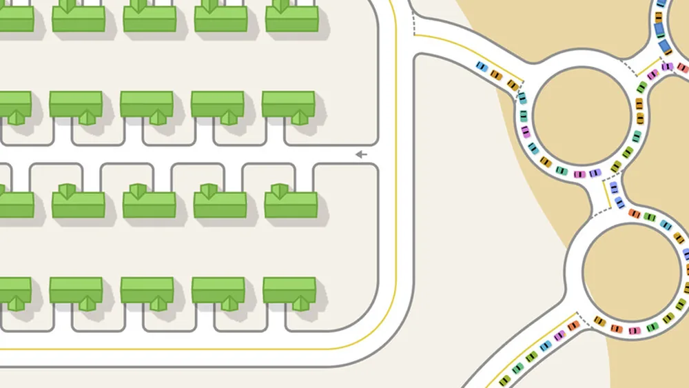
A grid gives every trip several equally good routes, which sounds ideal. The problem is that it also gives every trip the same few intersections. In a grid, the corners where main streets cross carry traffic from four directions, and because every block is the same shape, there is no natural place for traffic to spread.
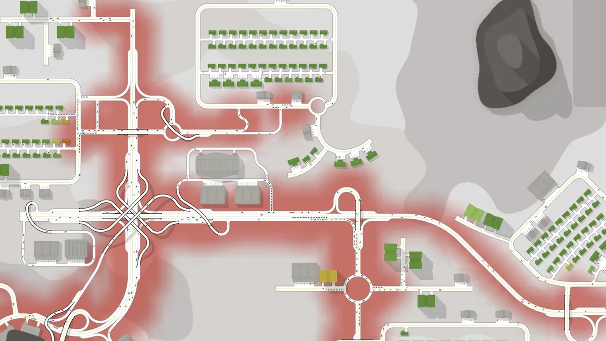
The result is a city where the overlay shows a handful of very red crossings and a lot of quiet streets in between. Fixing it means removing connections - closing a street, turning a four-way crossing into a pair of T-junctions, or making one street one-way in effect by narrowing it.
A grid's great strength is expansion. Adding a new block is trivial, lot shapes are predictable, and a district can grow in any direction without redesigning the access.
How an organic layout fails
Curves spread traffic because no two routes are identical. A coastal road, a loop around a hill, a diagonal shortcut - each one draws traffic away from the others. The overlay tends to show a softer, more even spread rather than concentrated hot spots.
The failure is structural. Organic roads are hard to widen because they are rarely straight, hard to duplicate because the geometry is unique, and hard to connect when a new district arrives. You end up with a beautiful early city that cannot accept a second arterial without demolishing a neighbourhood.
| Criterion | Grid | Organic |
|---|---|---|
| Early traffic spread | Poor | Good |
| Junction hot spots | Concentrated | Diffuse |
| Expansion | Easy | Painful |
| Widening later | Easy | Difficult |
| Lot efficiency | High | Lower |
| Visual character | Ordered | Natural |
Use a grid inside each district and curve the roads between districts. The district gets predictable lots and easy expansion; the connectors get enough variation to spread traffic.
The mixed layout that works
The hybrid pattern that survives to a large city looks like this:
- One arterial ring or spine drawn as a smooth curve, following the terrain, with junctions only at district entrances.
- A grid inside each district, aligned to the district's arterial entrance so that exits are perpendicular.
- One deliberate gap in the grid where a park, a hill or water sits, so the district does not become a perfect through-route.
- Collector streets on the district edge, not in the middle, so internal traffic never has to cross the centre to leave.
That structure gives you the grid's expandability without its concentration, and the organic layout's spread without its rigidity.
Angles and lot shapes
Gridless roads mean lots are not guaranteed to be rectangular. A grid rotated to follow a coastline produces trapezoid lots that still work; a grid that drifts a few degrees mid-district produces slivers that do not.
Two habits prevent this:
- Align the grid once per district, not per street. Use the angled grid tool and extend it, rather than drawing streets one at a time by eye.
- Check the seam between districts. Two grids at different angles meet in a wedge. Decide in advance whether the wedge is a park, a plaza or a junction - never a row of buildings.
A street drawn 2 degrees off looks fine until you attach buildings to it. Fix the angle before zoning, not after.
Which should a new player pick?
Start with the hybrid, but lean grid for the first district. A grid makes it obvious where the junctions are, which makes the first traffic problem easy to find. Once you can read the overlay, add curves on the connectors and watch how the load spreads.
If you are playing on Alpine or Fjords, the terrain will force organic geometry whether you want it or not. Treat that as the advanced course: the layouts in the layout library→ include both grid and curved examples with the traffic conditions each one is built for.
Measuring which shape is winning
You cannot compare shapes by looking at the map. Use the overlay after a full rush hour and ask two questions: how many separate red segments are there, and how long is the longest one. A grid typically produces many short hot spots; an organic layout produces fewer, longer, softer ones. Neither is automatically better - what matters is whether the hot spots are at junctions you can rebuild.
If the longest red stretch runs along a road rather than sitting at a junction, the shape is sending traffic down a corridor that cannot handle it. That is a hierarchy problem, covered in road hierarchy→.
Where the data comes from
- Trafficity on Steam ↗ - store description, price and feature list.
- Trafficity news hub ↗ - patch notes and developer posts.
- Steam global achievement percentages ↗ - the public endpoint behind the completion figures quoted here.
Official source: Trafficity on Steam ↗
FAQ
Is a grid better in Trafficity? It is easier to expand and easier to diagnose, but it concentrates traffic at a few crossings. Most working cities use grids inside districts and curves between them.
Do curved roads reduce traffic? They spread it. Fewer trips share the same junction, but each route is harder to widen later.
Can I convert a grid to organic later? Only by demolishing streets. Decide the connector shape before the district fills up.
Which layout is best for Alpine or Fjords? Organic, because the terrain forces it. Build the arterial first, then fit grids into the flat pockets.